


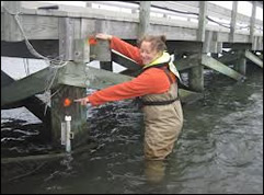
Sea Level Rise and Assateague Island, MD
Assateague Island is a 37 mile long barrier island located south of Ocean City MD. It consists of Assateague Island National Seashore, Assateague State Park, and Chincoteague National Wildlife Refuge.
Assateague Island, well known for its beaches and well known for its wild ponies is surrounded by water on all sides and is particularly vulnerable to sea level rise.
Sea Level Rise Projections
Step 2. Use the graph below to predict how many feet global sea level will rise by 2100. Record this information in the Online Sea Level Investigation Guide you downloaded in Step 1. This will help you predict the impacts of sea level rise on Assateague Island and surrounding areas on the next page.
A few things about the graph:
- You'll have to decide which projections you think are relevant.
- The graph is based on sea level rise projections made in 2014.
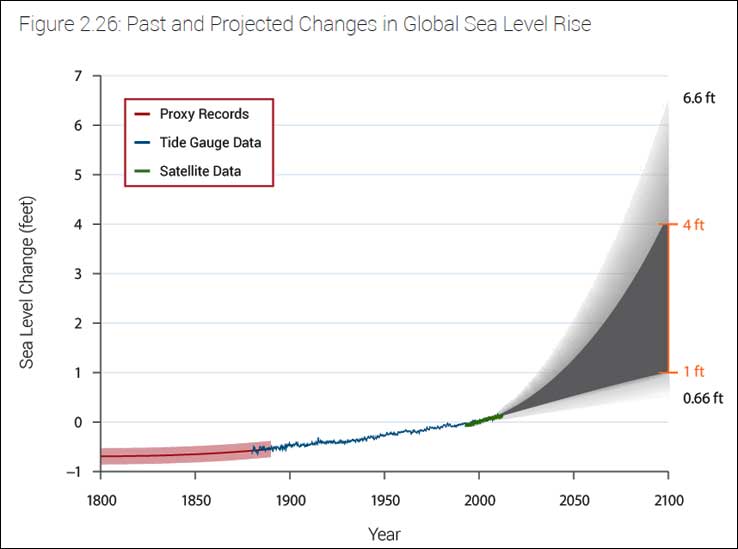
| Graph from: U.S. Global Change Research Program (2014). Chapter 2: Our Changing Climate (p. 45). In Climate change impacts in the United States: The Third National Climate Assessment. Available at: http://nca2014.globalchange.gov/report/our-changing-climate/sea-level-rise |